Unlock the Power of Location Intelligence with Ventro Analytics
Stay Ahead with Location Intelligence
Reduced Risks
Smarter Decisions
Efficient Operations
When Insight is missing
Decisions are made on assumptions instead of facts. This often leads to missed opportunities, higher costs, inefficiencies, and unnecessary risk.
Missing Opportunities
When location insights are unclear, growth opportunities can be overlooked—whether it’s expanding into the right markets, improving coverage, or optimizing how assets and sites are used.
Higher Operational Costs
Inefficient routes, poor coverage planning, and misaligned assets quietly increase travel, labor, and operational expenses.
Wasted Time and Effort
Teams spend valuable time validating decisions manually when location data is unclear, inconsistent, or scattered across systems.
Limited Visibility
Without spatial clarity, it’s difficult to fully understand what’s happening across sites, assets, facilities, or service areas.
The Value of Location Intelligence
Make Smarter decisions with Location Intelligence
Clear spatial insight replaces guesswork with understanding. When decisions are informed by how location impacts performance, cost, and risk, teams gain the clarity needed to act confidently, move faster, and stay ahead.
Confident Decisions
Make informed choices based on real-world context, not assumptions or incomplete information.
Reduced Risks
Identify gaps, constraints, and opportunities early to avoid costly mistakes and rework.
Better Outcomes
Align locations, assets, and resources with real conditions to improve performance and results.
Efficient Operations
Optimize movement, coverage, and resource placement to reduce inefficiencies and operational friction.
Your Guide To Location Intelligence
We help you see what matters
At Ventro Analytics, we help organizations replace uncertainty with location intelligence. Our work turns complex spatial data into clear insight so decisions are easier to understand, justify, and act on with confidence.
Real Financial Impact
Supporting smarter decisions that helped a client reduce annual travel costs by nearly $200,000.
Practical Spatial Insight
Clear, practical insight designed to help teams understand information, trust decisions, and act with confidence.
Designed for Real Decisions
Designed to support how decisions are actually made across locations, assets, and real-world operational constraints.
Real-World Experience
Our work is shaped by hands-on experience with real locations, real constraints, and real operational challenges
How It Works
1. understand the problem
We start by understanding your goals, constraints, and the decisions you need to make. so we focus on what actually matters.
2. Deliver Spatial Solutions
We turn location data into practical solutions— maps, systems, and tools —that make complex information easy to understand and use.
3. Make Smart Decisions
You move forward with confidence, align teams, and take action knowing decisions are backed by clear understanding.
Solutions Built Around Your Needs
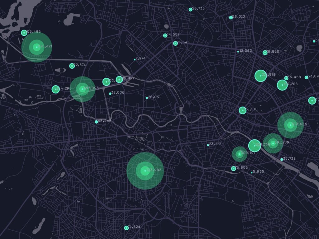
GeoSpatial Analysis & Reporting
Analyze complex spatial data to uncover trends, improve decision-making, and generate detailed, actionable reports for effective project management.

Custom GIS Applications Development
Design and build tailored GIS software platforms to enhance mapping, analysis, data visualization, and workflow automation for diverse industry needs.
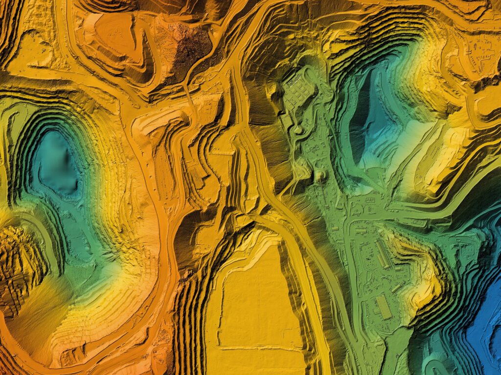
Drone Mapping and Remote Sensing
Obtain high-resolution geographic and environmental data using satellite imagery, aerial photography, and drones for accurate mapping and site assessment.
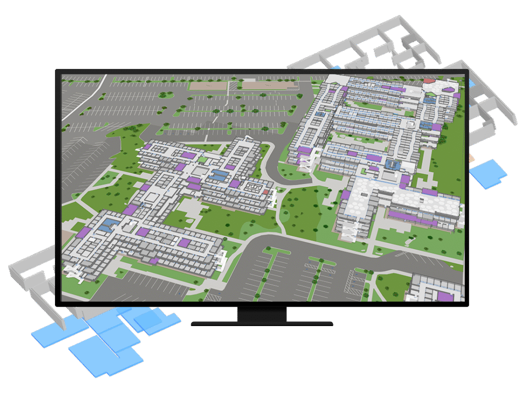
Indoor GIS & GeoBIM Solutions
Visualize, manage, and analyze indoor spaces with integrated 2D/3D maps, boosting facility efficiency, asset tracking, and wayfinding accuracy.
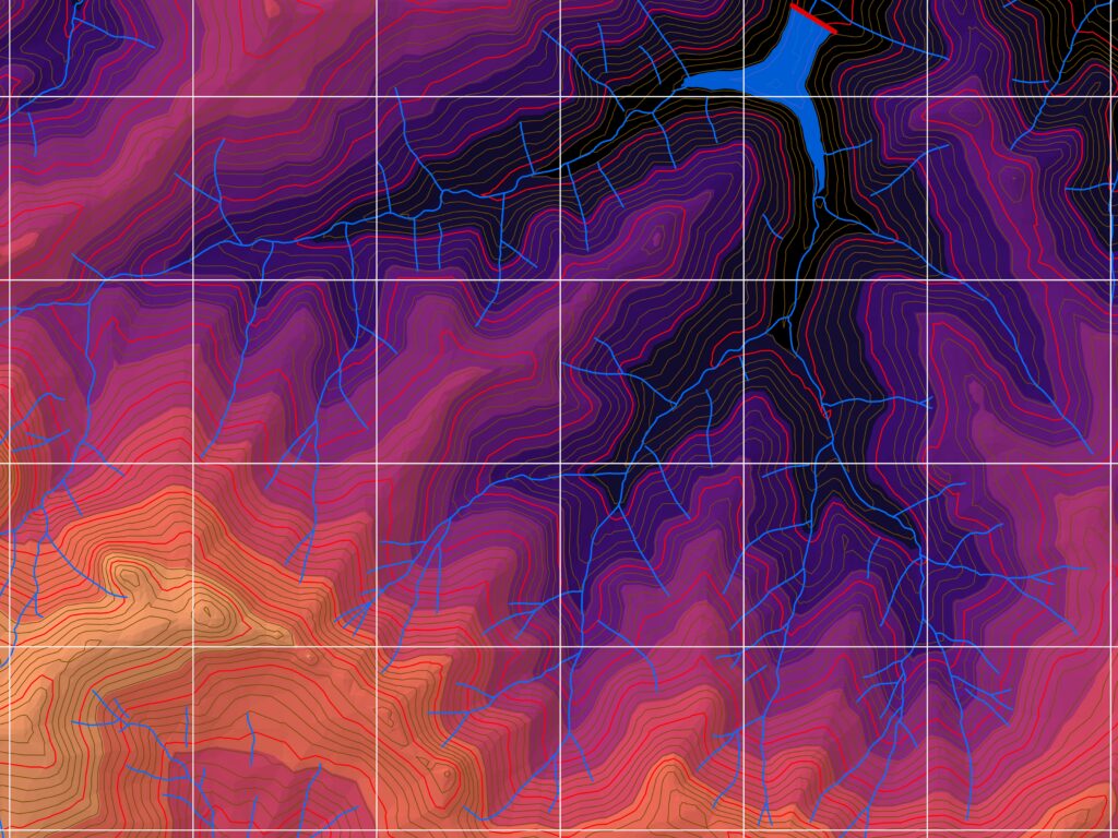
GIS Mapping & Cartography
Create precise, visually engaging maps for analysis, planning, infrastructure management, and resource monitoring, using advanced geospatial technology.
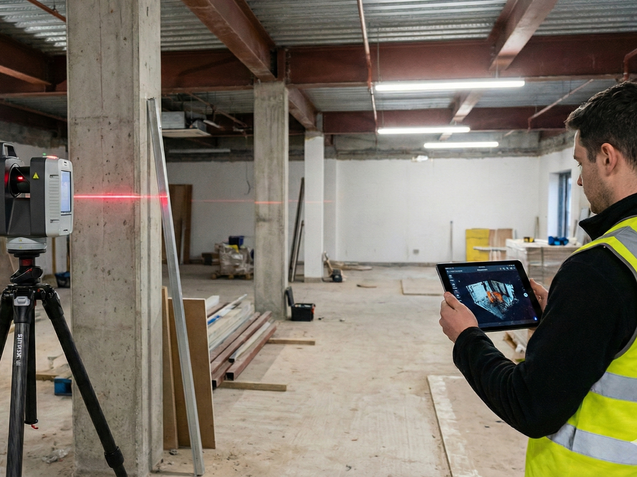
Scanning & digital Documentation
Capture real-world conditions using 3D scanning and 360° imagery to create accurate digital records for insurance, restoration, inspections, and planning.
Industries We Support
Planners
Property Management
Utilities
AEC Firms
Real Estate
Transportation
Environmental Teams
Logistics
Retail Networks
Restoration & Insurance
Ventro Analytics
Replace uncertainty with location intelligence
Quick Links
Home
Solutions
Contact Us
About Us
Solutions
Geospatial Analysis & Reporting
Custom Applications
Drone Mapping & Remote Sensing
Indoors GIS & GeoBIM
Mapping and Cartography