Discuss a Project
Industries

Energy & Utilities

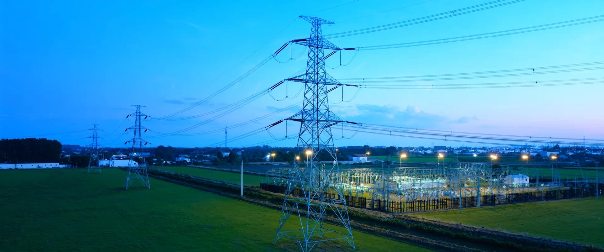
Connect the geographic information behind energy and utility projects.

Ventro provides GIS analysis, mapping, and data support for energy developers, utilities, and their consultants. We organize site, corridor, environmental, and asset information to support early studies, project coordination, and ongoing records management.

Ventro GeoVentro CaptureVentro Twin
// WHERE WE CAN HELP

Site and corridor studies

Compare options using consistent geographic information and criteria established by your project specialists.

Environmental and project reporting

Prepare coordinated maps and datasets as studies develop, field findings arrive, and project requirements change.

Asset information

Reconcile geographic records across design files, spreadsheets, and existing systems.

// HOW VENTRO SUPPORTS YOUR TEAM

The services behind
the work.

Talk to us →
// EXAMPLE PROJECT SCOPES

What an assignment
can look like.

Each of these is a scope a team has asked for. Yours is agreed with you before any work starts.

Prepare a geographic screening package for candidate sites or corridors.
Build a crossing inventory from available watercourse, road, rail, and utility information.
Produce and maintain a figure set for an environmental study.
Consolidate supplied asset records into a structured database and project viewer.
// FAQ

Frequently asked
questions.

Something not covered here? Ask us directly.

Can you support our engineering or environmental consultant?

Yes. We can deliver an agreed GIS package under the lead consultant’s standards, methodology, and review process.

Can you work with restricted or licensed datasets?

Data access, permitted uses, storage, and sharing arrangements are reviewed during scoping. We work within the rights and handling requirements applicable to the assignment.

Can you support nuclear-related projects?

We can discuss defined mapping and spatial-data assignments supporting qualified project teams. Nuclear safety assessments, licensing work, and specialist engineering require the appropriately qualified organizations and project-specific requirements.


READY WHEN YOU ARE

Define the GIS support your project needs.

Share the study area, project stage, and information your team is working with.

Capturelaser scanning, drone mapping, 360 documentation, as-builts
GeoGIS and spatial analysis for infrastructure, energy, land, and municipalities
Twindigital twins, scan to BIM, as-built drawings