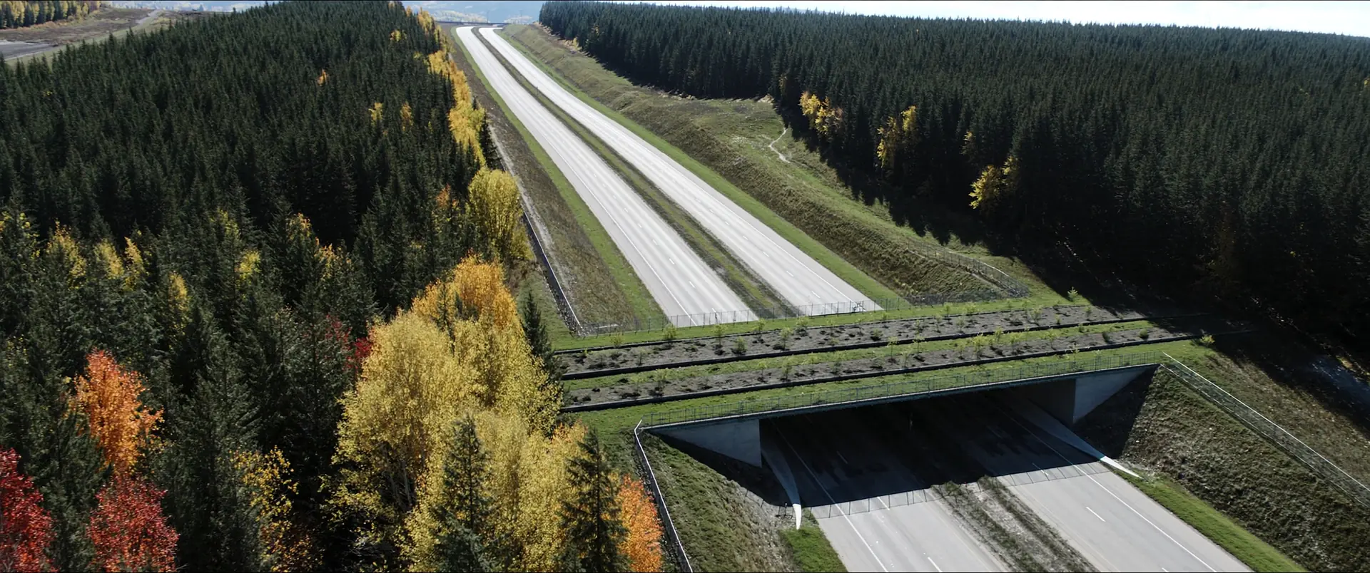
Structure supplied observations, mapped features, and supporting records for analysis and reporting.
Update datasets and figures as study areas, project designs, and specialist findings change.
Prepare the agreed maps, GIS layers, and metadata to the receiving organization’s requirements.
Each of these is a scope a team has asked for. Yours is agreed with you before any work starts.
Our role is the agreed geospatial component. Ecological interpretation, field determinations, and professional planning or engineering opinions remain with the specialists responsible for them.
Yes. We review available spreadsheets, GPS exports, CAD files, and GIS layers, then agree how records will be matched, checked, and structured.
Access, storage, public-map treatment, and permitted sharing are agreed with your team and must follow applicable data-provider and agency requirements.
Yes. The proposal defines the expected revisions and how changes to the study area, source data, or methodology will be handled.