
8 min read
A short scoping call, then a fixed quote. Nothing starts until you say go.
A model of your building tied to the workflows that run it, so space, assets, and maintenance sit in one place. We agree the update path at handover, because a model nobody maintains becomes another out-of-date file.
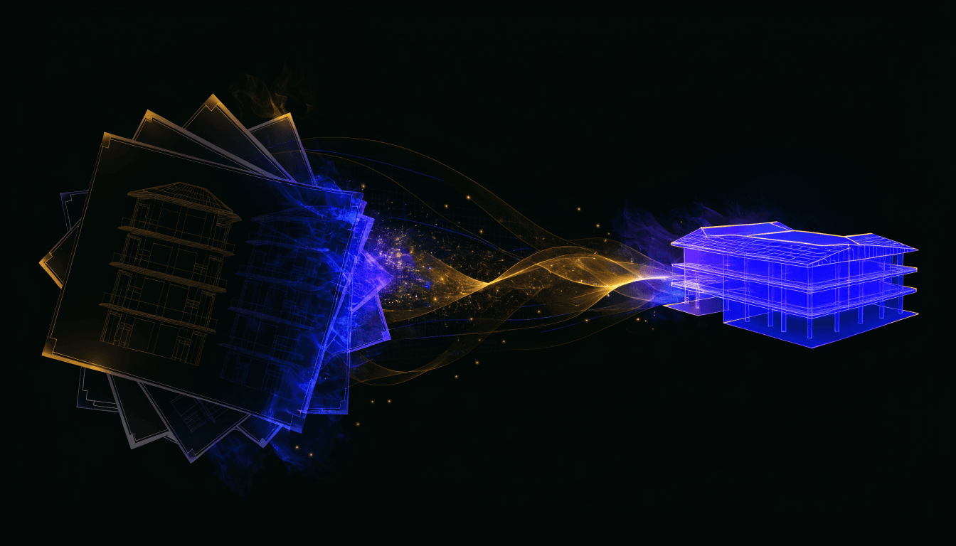
We capture your building with laser scanning or drone photogrammetry and model it to an agreed level of detail, with every element verified against the point cloud before handover.
When your drawings are missing or no longer match reality, we capture the space and redraw it as it stands, with the tolerance stated. It is a measured record for renovation and handover work, not a legal survey, and it does not replace one.
High-accuracy interior and exterior capture, delivered as clean, registered point clouds your architects and engineers can design against with confidence.
Not our numbers: government agencies and major industry studies have priced the problem for years. We verified every figure against its primary source, including what it means for Canadian buildings.
of a building’s total cost of ownership is operations and maintenance, not design and construction.
spent by construction professionals just hunting for project information like current drawings.
of the $15.8B lost yearly to poor building information lands on owners, mostly during operations.
The studies above are industry wide. This one is yours. We cost three leaks one building at a time: staff hours spent hunting for building information, emergency repairs that could have been planned work, and energy your building wastes without anyone seeing it. Then we scale them across your portfolio.
What the data says: construction and facility teams lose about 5.5 hours a week per person just hunting for current drawings and building info (FMI and PlanGrid, 2018).
A loaded hour adds benefits, overhead, and idle time to base pay, usually 30 to 50% on top.
What the data says: moving reactive repairs to predictive maintenance saves up to 40% (US Department of Energy). We count 30% to stay conservative.
What the data says: about 30% of the energy commercial buildings use is wasted (EPA ENERGY STAR), and good operations recover 5 to 20% of the bill (US Department of Energy). We count 10%.
Deliberately conservative: we count 30% of emergency repair spend and 10% of energy spend, below what the US DOE and EPA studies report.
We scan your building on site: laser scanning indoors, drone photogrammetry where it helps. Occupied buildings are fine; we work around your operations.
The point cloud becomes a BIM model or drawing set at the level of detail your use case needs, and every element is checked against the scan before we call it done.
You get a model your team actually uses: connected to your space, asset, and maintenance workflows, with a plan to keep it current as the building changes.
Capture is the measurement and what comes straight out of it: scans, point clouds, drone mapping, 360 records, models and drawings of existing conditions. Twin is what happens when that model becomes something you run the building from, connected to your space, asset, and maintenance workflows. Most twin work starts with a capture, and plenty of capture work never needs to become a twin.
Whatever the use case justifies. A leasing floor plan, a renovation-ready model, and an FM twin need different levels of detail, and we scope each project to the decision it supports rather than modelling everything to the maximum.
Yes. Laser scanning is non-intrusive and fast, and we schedule capture around your tenants and operations, including evenings and weekends when needed.
Usually, yes. Existing drawings speed up modelling even when they are out of date, because we only need to verify and correct rather than start from zero.