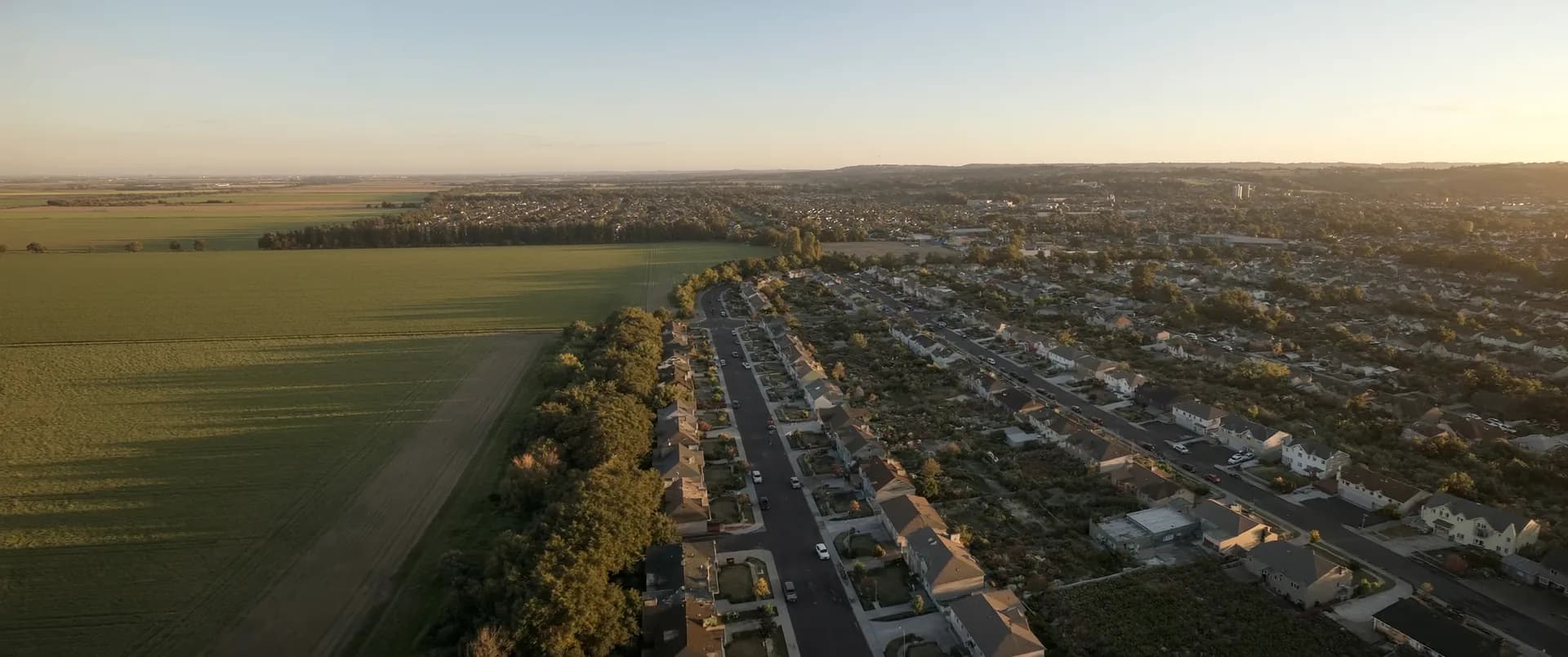
Review available planning, environmental, terrain, and infrastructure information within a defined study area.
Evaluate candidate properties using the same criteria, with a clear account of their differences and information gaps.
Maintain an organized geographic record as studies, designs, and consultant teams evolve.
Each of these is a scope a team has asked for. Yours is agreed with you before any work starts.
We can estimate areas remaining under explicitly defined screening assumptions. Confirmed development limits and yield depend on specialist review, servicing, surveys, design, and approvals.
We can map available records of infrastructure and potential connections. Capacity and connection feasibility require confirmation by the relevant engineers and service providers.
We support them with organized geographic data, analysis, and figures. Ventro can work directly for you or deliver an agreed GIS package within their assignment.