
Discuss a Project
Insights

Location, explained
by practitioners.

No hype, no filler. What digital twins, scans, and spatial analysis actually do for an operation, from the people who build them.

Case StudiesVentro Geo6 min read

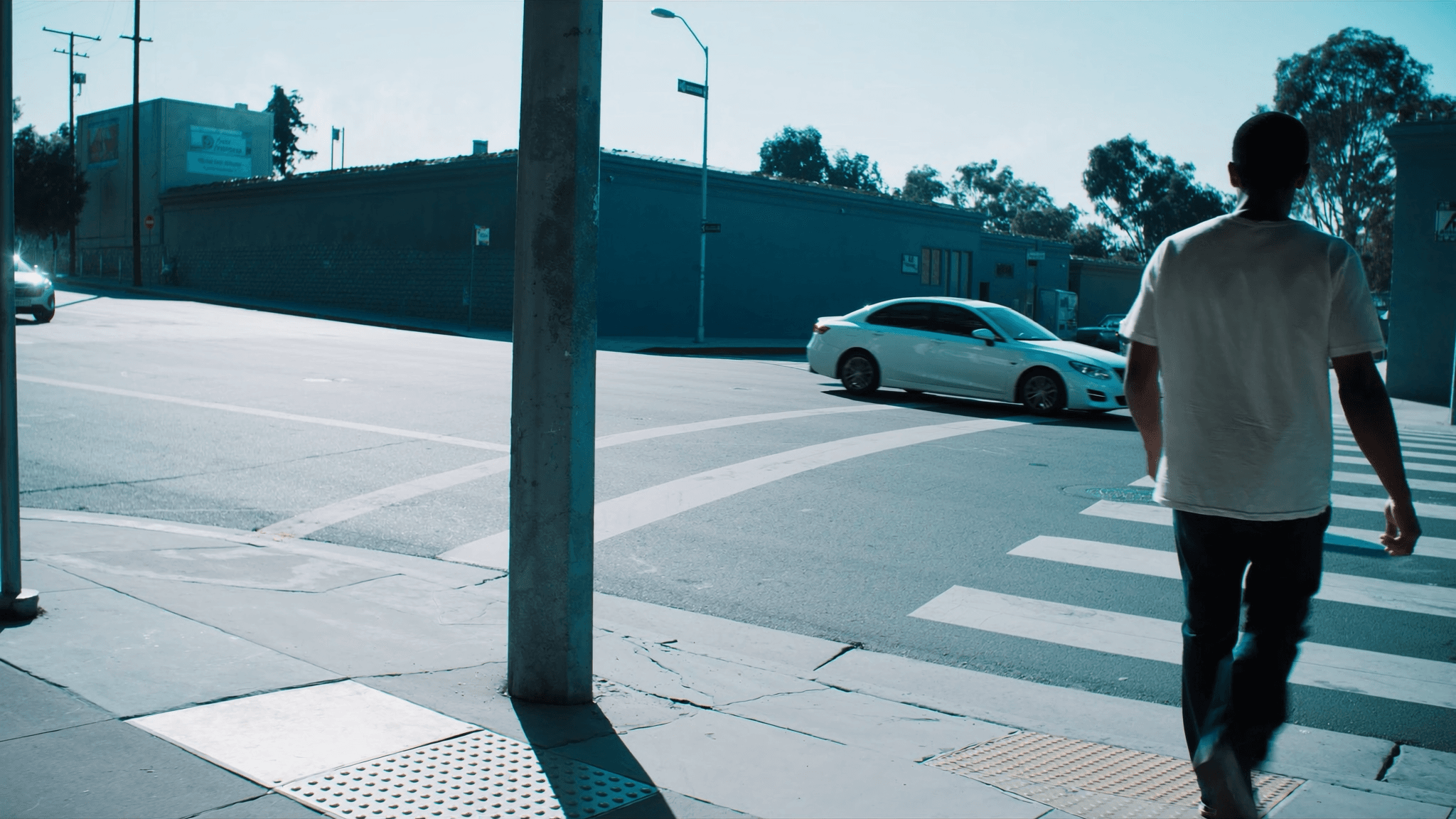
How Location Quietly Cost a Construction Company $200,000 a Year

A growing construction company in the Greater Toronto Area was quietly commuting to its own market. One relocation of the daily starting point returned over $200,000 a year, 1,600+ productive hours, and a 43% cut in total distance driven.


Ventro Twin6 min read

Scan to BIM, Explained for Building Owners and Managers

Scan to BIM turns laser scans and drone capture into an accurate model of your building as it exists today. Here is when owners actually need it, how the process works, what drives the price, and how to prepare.

Ventro Twin6 min read

Digital twins for facility management: what they are and what they are not

A digital twin is a living model of a building tied to real operational data, not a pretty render. Here is what twins actually solve for facility teams, what they do not do, and a sensible way to start with one building and one workflow.

Ventro Geo6 min read

Drive time vs walk time: choosing the right catchment for a location decision

Radius circles lie about who can actually reach a site. Here is how to choose between drive-time and walk-time catchments, and how to pair them with demand data to make a defensible location decision.

Ventro Capture6 min read

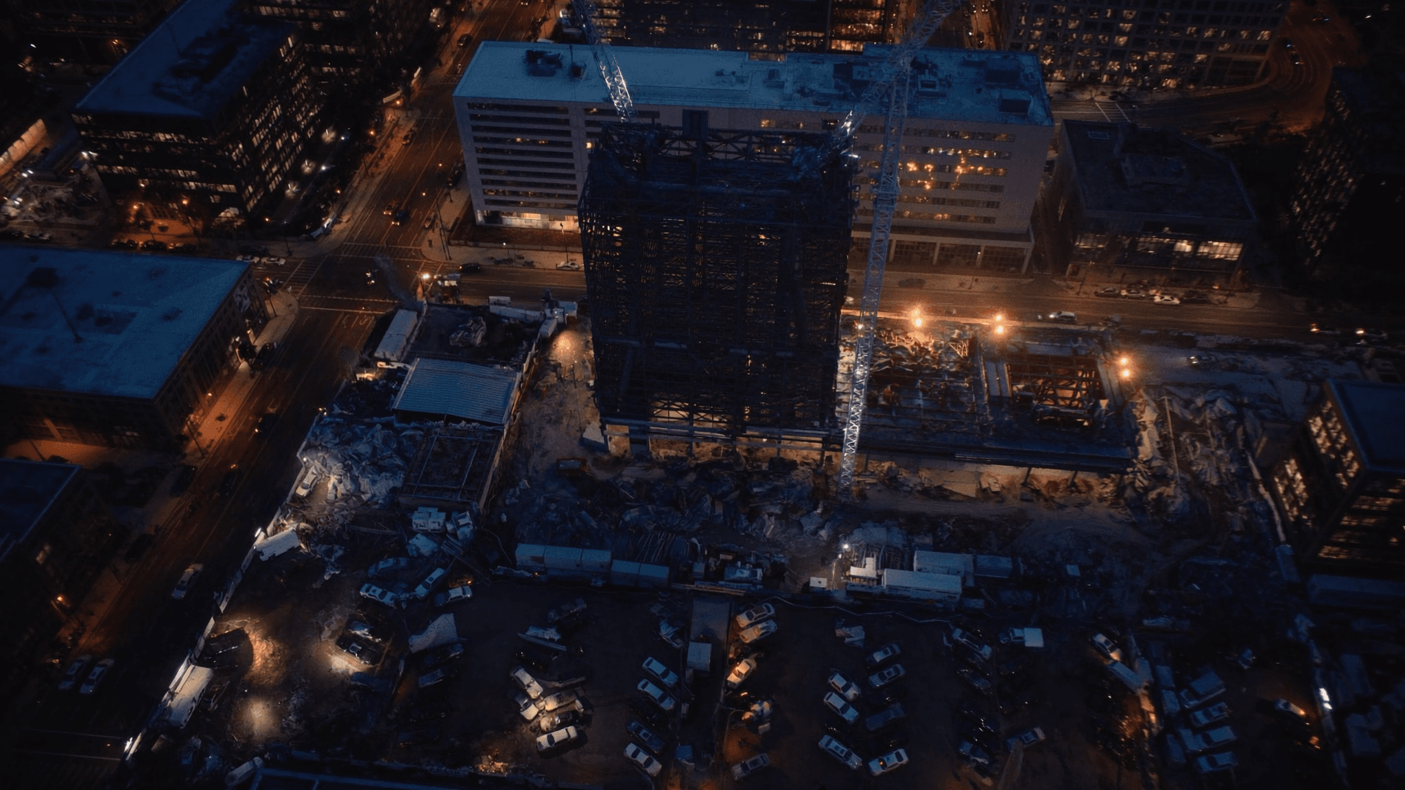
Construction Documentation Explained: 360 Walkthroughs and Drone Progress Tracking

Walls close, crews rotate, and memory fades fast on an active jobsite. A recurring photographic record, 360 walkthroughs inside and drone flights above, is some of the cheapest insurance a project can carry.

Ventro Twin7 min read

What Bad Building Information Really Costs: The Verified Numbers

Government agencies and major industry studies have put hard numbers on what outdated drawings and scattered building records cost. We verified every figure against its primary source. The pattern is uncomfortable, especially if you own the building.

Ventro TwinVentro GeoVentro Capture8 min read

Canada Is Behind on Building Data. For Owners, That Is a Risk and an Edge.

The bar for how well a building is documented and tracked is rising fast everywhere except, so far, Canada. If you own or operate buildings, that lag is quietly costing you now, and closing it early is how you get ahead of your peers.

Ventro Geo9 min read

Before You Sign the Lease: Why Location Intelligence Belongs at the Start of Every Retail Decision

A commercial buildout runs into the millions and the lease locks in a decade of obligation, yet many site decisions still rest on a walkthrough and a gut feeling. Location intelligence turns that bet into evidence, and it belongs before you sign, not after.

READY WHEN YOU ARE

Bring us a site, asset, or project challenge.

Thirty minutes with our team. Bring the project and the decision in front of it, and we will walk you through how Ventro would approach the geospatial side: GIS and spatial analysis, mapping, project data, reality capture, or a model of the built environment. Direct for owners and municipalities, or under your contract as the GIS specialist on the team.

Capturelaser scanning, drone mapping, 360 documentation, as-builts
GeoGIS and spatial analysis for infrastructure, energy, land, and municipalities
Twindigital twins, scan to BIM, as-built drawings